Close this alert
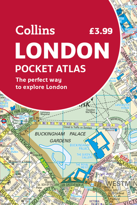
Collins London Pocket Atlas
Current price:
$6.99
Publication Date: May 1st, 2020
Publisher:
Collins
ISBN:
9780008370022
Pages:
144
Description
This fully updated atlas features clear Collins street mapping of Central London and the surrounding area. Coverage is from Chiswick in the west to Barking in the east, and Hampstead in the north to Dulwich in the south. Scale is 1:20,000 (3.17 inches to 1 mile). Coverage of Central London is at 1:12,500 (5.1 inches to 1 mile). Includes: Latest boundary of the congestion charging zone. Color classified roads and buildings. Postal district boundaries. Car parks, hospitals and police stations. Tourist information centers. Updated underground map on back cover. Full index to street names.