Close this alert
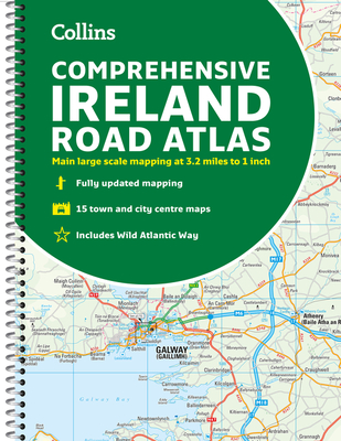
Comprehensive Road Atlas Ireland
Current price:
$16.95
Publication Date: May 1st, 2021
Publisher:
Collins
ISBN:
9780008412814
Pages:
160
Description
A clear, detailed road atlas of Ireland in a handy A4 spiral-bound format. This comprehensive, general purpose road atlas of the whole of Ireland is ideal for both business and pleasure use. The atlas contains a range of mapping scales:
- 9 miles to 1 inch route planning map
- Main maps at 3.2 miles to 1 inch, which are ideal for navigation
- A wide selection of detailed town center street plans
This edition boasts road mapping packed with detail—showing color classified road network, toll roads, land heights, the location of safety cameras, Blue Flag and Green Coast beaches, tourist information centers, and a wide range of tourist attractions. There is also comprehensive guide information for visitors to Belfast, Cork, Dublin, and Limerick. The locations of Speed Enforcement Zones, which highlight roads that have a high risk of accidents as identified by the Garda and the National Roads Authority, are included.
There is also a wide range of fully indexed town and city center maps. These are: Bangor, Belfast, Cork, Drogheda, Dublin, Dún Laoghaire, Galway, Kilkenny, Killarney, Limerick, Lisburn, Londonderry (Derry), Newry, Newtownabbey, and Waterford.