Close this alert
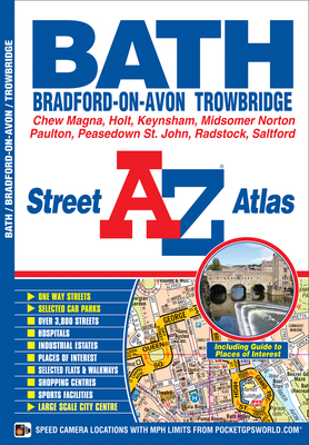
Bath A-Z Street Atlas
Current price:
$8.95
Publication Date: November 27th, 2013
Publisher:
Geographers’ A-Z Map Co Ltd
ISBN:
9781843487333
Pages:
72
Description
This street atlas of Bath, Bradford-on-Avon and Trowbridge has 42 pages of coloured street mapping and includes a guide to selected places of interest.The main coverage around Bath, Bradford-on-Avon and Trowbridge extends to include:•Keynsham, Saltford, Bath Spa University (Newton Park Campus), Bath Racecourse, Batheaston, Twerton, University of Bath, Odd Down, Combe Down, Holt, Westwood, Southwick and North Bradley.•There is a large scale city centre map of Bath.Separate coverage includes:•Clutton, High Littleton, Paulton, Timsbury (part), Peasedown St.John, Midsomer Norton and Radstock.•Chew Magna and Chew Stoke.Postcode districts, one-way streets and safety camera locations with their maximum speed limit are featured on the street mapping.The five page Guide to Selected Places of Interest gives information about each of the selected places of interest covered by this atlas. The name, address, telephone number and map reference are given with a summary of the history and main features of each place of interest. A small selection of coloured photographs is included.The index section lists streets, selected flats, walkways and places of interest, place, area and station names, hospitals and hospices covered by the atlas.